
Blog
Blog
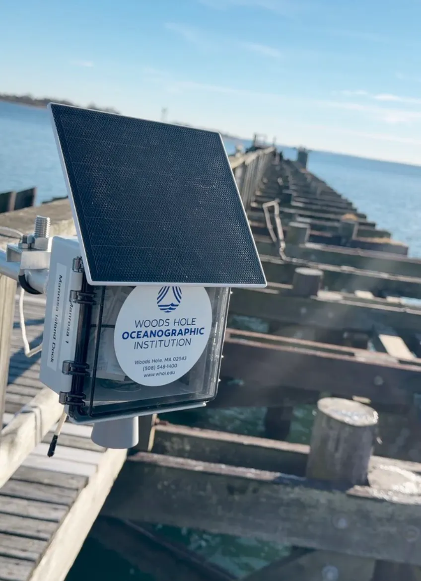
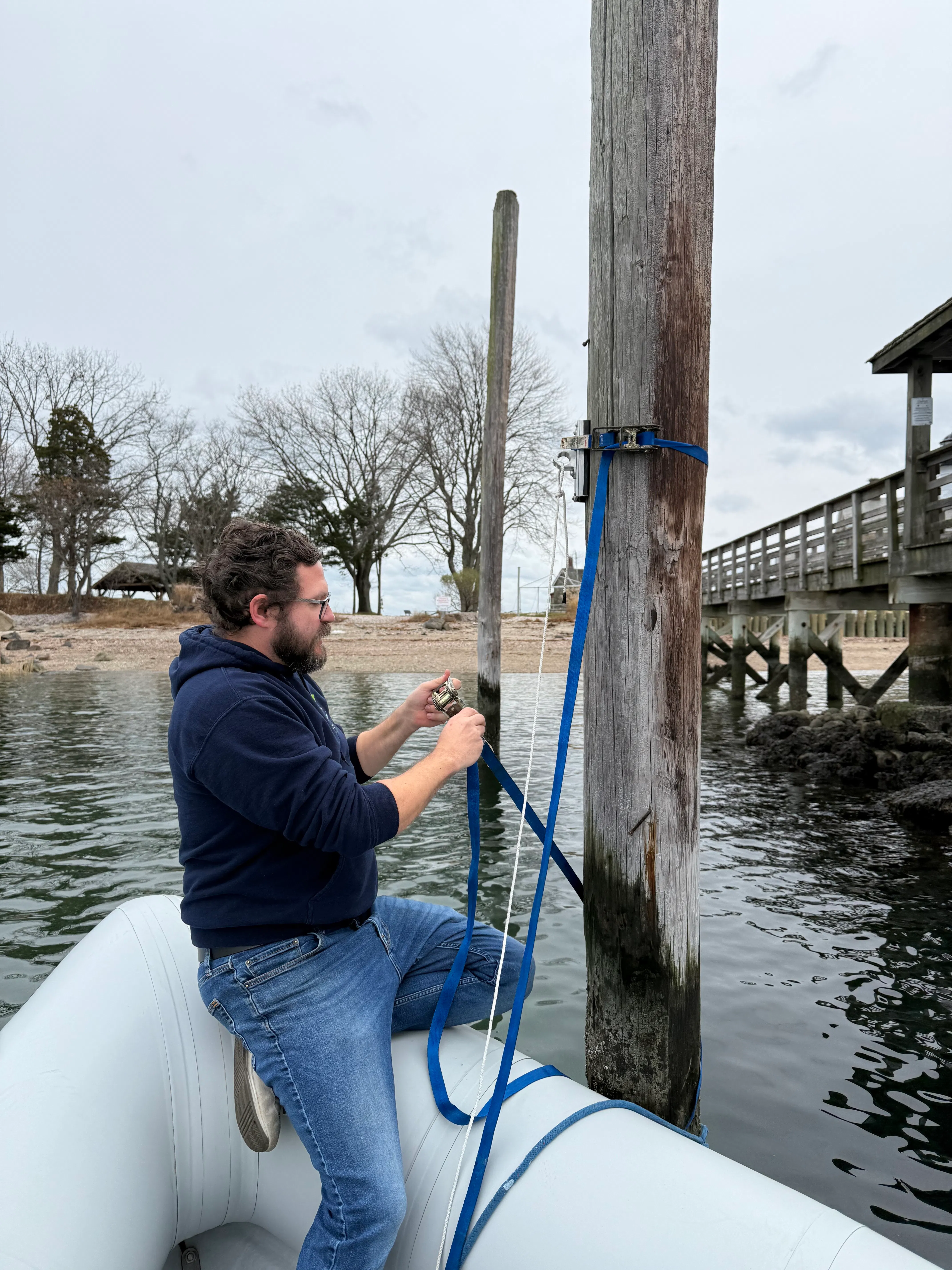
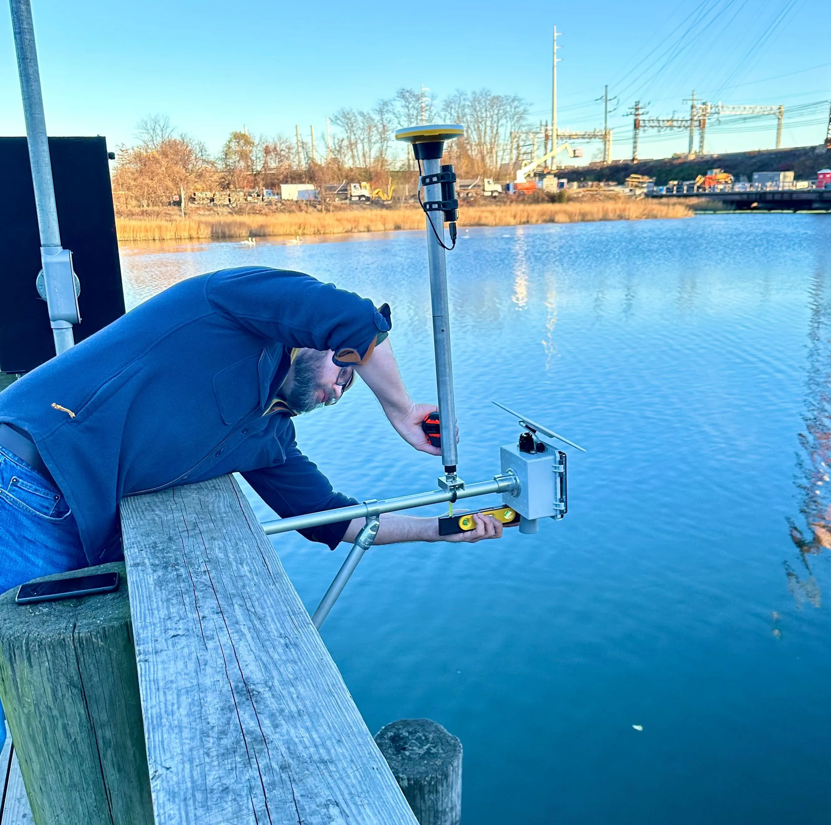
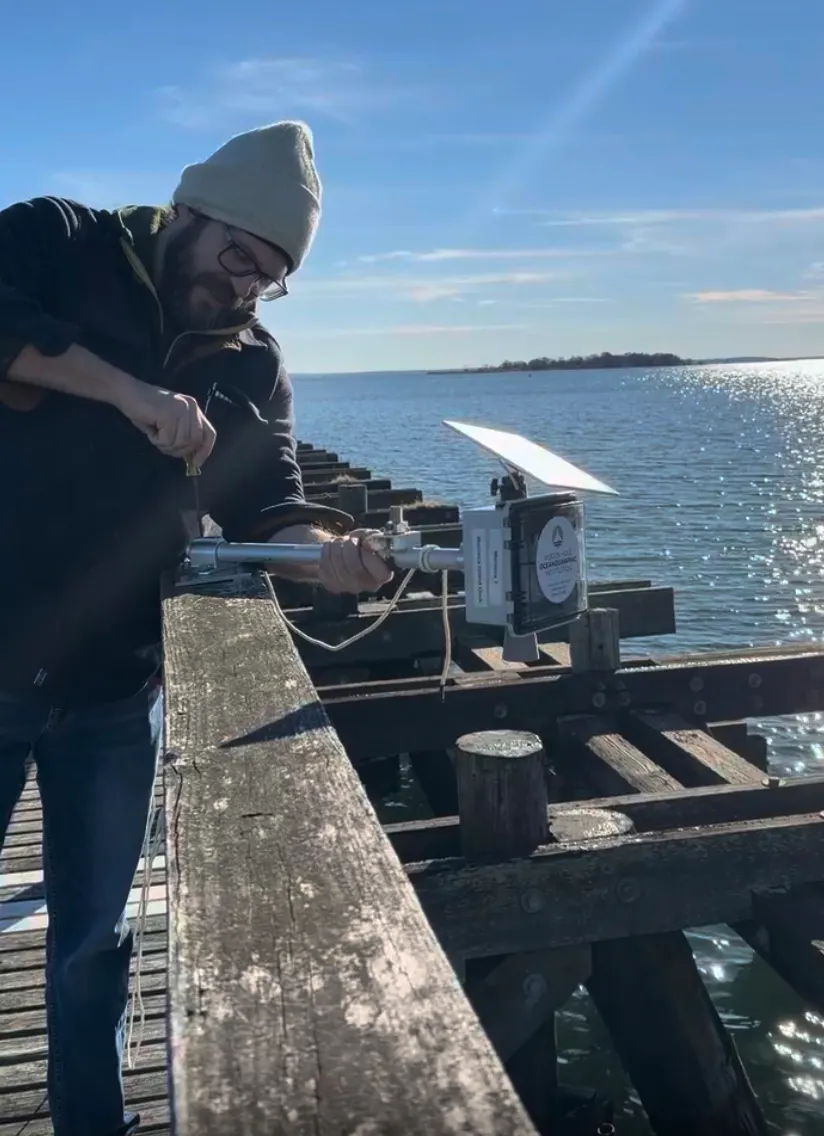
Levi Gorrell, a Research Associate from the Woods Hole Oceanographic Institution, visited Manresa Wilds to install a new water-level sensor on the dock. These instruments use acoustic pulses to measure the distance between the device and the water surface, allowing scientists to track tides and local water levels with high precision.
The Manresa sensor is one of three now deployed in the area, as part of the WHOI Water Level Project. Another was placed at the Maritime Aquarium up the river, and a third was installed on Sheffield Island. Together, these three locations create a small network that helps researchers see how water levels vary over short distances. Understanding these small-scale changes is essential for studying local flooding patterns, especially in places where one area floods while another nearby does not. Until now, there hasn’t been enough fine-scale data to explain those differences.
About the Sensors
Each instrument is a self-contained, solar-powered unit. The acoustic sensor sends sound pulses that bounce off the water surface, and a GPS unit records the sensor’s exact position. A small internal battery keeps the system running, even through several days without sunlight, and the solar panel keeps it charged year-round—even in winter. Once the sensor takes a reading, a cellular modem instantly uploads the data to the cloud, making it available online within seconds.
To learn more about the Water Level Project and view the data, visit the WHOI website here.
Published 2.11.26
